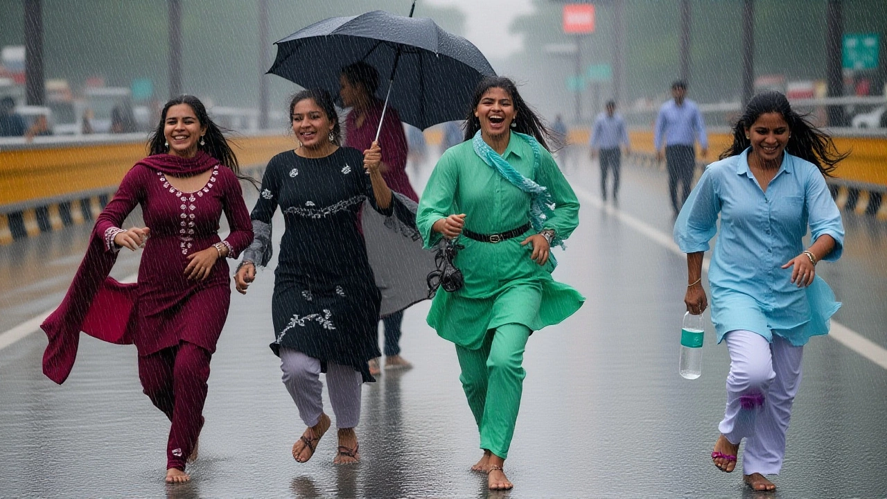
Just when the summer heat in New Delhi felt unbearable, a sudden shift in weather patterns brought much-needed relief. Recent rainfall has cooled temperatures across the National Capital Region, offering a brief respite to residents battling soaring mercury levels. But don't pack away the umbrellas just yet—the India Meteorological Department (IMD) has issued a fresh alert for heavy rains in several neighboring states over the next three to four days.
Here’s the thing: while Delhi-NCR is enjoying a temporary cool-down, the monsoon system isn’t slowing down elsewhere. The contrast between the capital’s current haze and the impending storms in adjacent regions highlights the complex nature of this year’s seasonal transition. For millions living in the metro, it’s a momentary sigh of relief before the real weather drama unfolds.
Temperature Swings and Conflicting Data
On June 19, 2026, temperature readings across Delhi presented a confusing picture depending on where you looked. Reports from major news portals like Aaj Tak cited maximum temperatures hitting a scorching 41°C, with minimums hovering around 33°C. However, other sources, including ABP News and official IMD regional data, showed significantly lower figures—maximums near 31.9°C and minimums around 29.6°C.
This discrepancy likely stems from different measurement times and locations within the vast metropolitan area. While some stations recorded peak afternoon heat, others captured cooler morning or evening readings. What’s clear is that humidity levels have risen sharply, ranging from 52% to nearly 70%, making the "RealFeel" temperature often higher than the actual thermometer reading. Wind speeds remained moderate, generally blowing from the west-southwest at 9 to 12 km/h, helping to disperse some of the stagnant heat but also carrying moisture from distant systems.
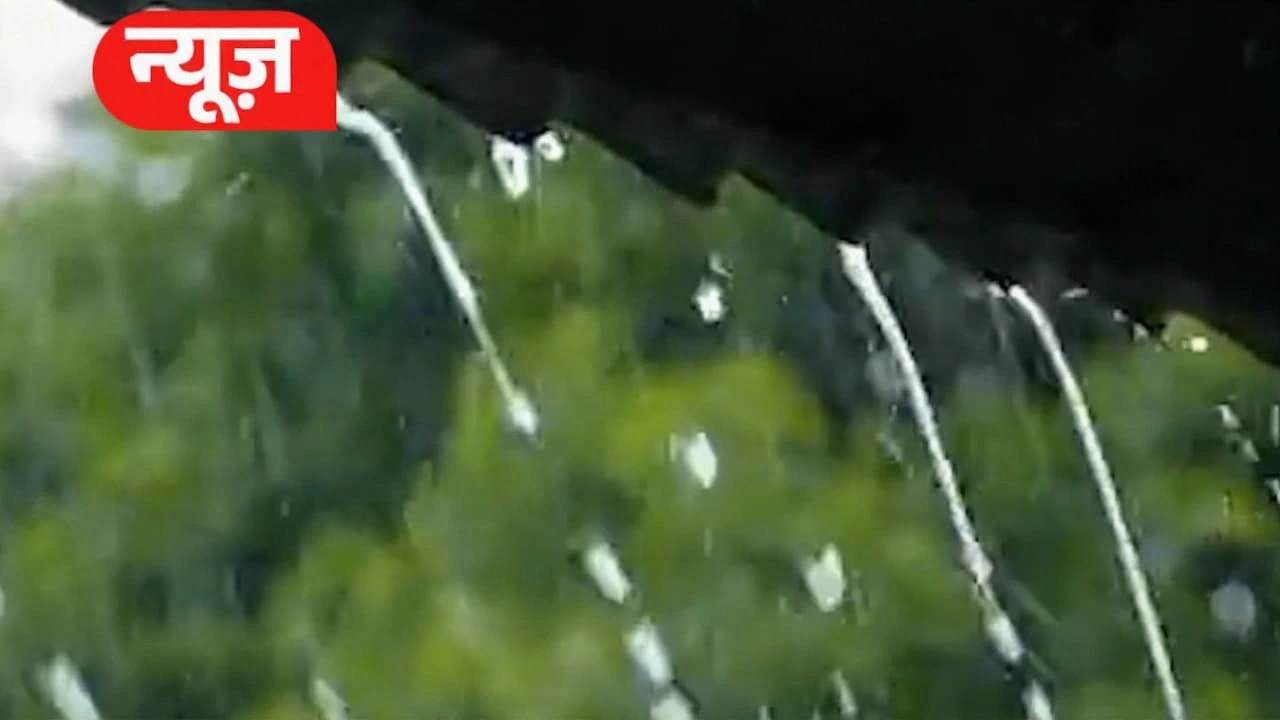
The IMD Alert: What’s Coming Next?
The India Meteorological Department, headquartered at Mausam Bhawan in Lodhi Road, New Delhi, has been closely monitoring atmospheric changes. Their latest bulletin indicates that while Delhi itself may see only scattered showers, the surrounding states are bracing for more intense activity. The alert specifically mentions heavy rainfall possibilities in the next 72 to 96 hours.
Dr. Akhil Srivastava, a Scientist-D at the IMD, noted that the current low-pressure systems interacting with the western disturbance remnants could trigger localized cloudbursts in hilly areas. This is particularly concerning for districts bordering Uttarakhand and Himachal Pradesh, where infrastructure is already strained by seasonal wear. Residents in these zones are advised to stay vigilant and follow local authority instructions regarding waterlogging and landslides.
Air Quality Remains a Concern
Despite the rain, breathing easy isn’t quite on the cards yet. The Air Quality Index (AQI) in Delhi hit 170 on June 19, placing it firmly in the "Poor" category. Fine particulate matter (PM 2.5) levels were recorded at 170, while PM 10 stood at 113. These numbers suggest that while rain helps wash out some pollutants, the underlying issues of vehicular emissions and industrial output persist.
Interestingly, the UV index was relatively low at level 2, offering some protection from harmful sun rays during the day. However, the combination of high humidity and poor air quality can exacerbate respiratory issues for sensitive groups. Health experts recommend limiting outdoor physical activities during peak pollution hours, typically early morning and late evening.
Broader Impact on Daily Life
The weather shift has immediate implications for daily routines in the NCR region. Commuters face potential delays due to wet roads and reduced visibility, especially during rush hours. Agricultural communities in nearby Haryana and Uttar Pradesh are watching the skies intently, as timely rains are crucial for crop health, but excessive waterlogging can damage standing crops.
Education institutions have not yet announced closures, but parents are urged to prepare for possible disruptions if the IMD upgrades its warning status. Meanwhile, tourism operators report a dip in footfall at outdoor attractions, with visitors preferring indoor museums and cafes to escape the humid, hazy conditions.
What’s Next for Delhi-NCR?
Looking ahead, meteorologists predict a gradual stabilization of temperatures over the next week. Highs are expected to fluctuate between 41°C and 43°C, while lows will remain in the low 30s. The key variable remains rainfall intensity. If the predicted heavy rains materialize in neighboring states, there’s a chance of spillover effects into Delhi, potentially bringing more significant cooling.
Residents should keep an eye on hourly updates from reliable sources like the IMD website and trusted news outlets. As always, preparedness is key—keep emergency kits handy, check drainage systems around homes, and avoid unnecessary travel during severe weather warnings. The summer isn’t over, but the storm clouds are gathering.
Frequently Asked Questions
Will it rain heavily in Delhi today?
Current forecasts indicate only light to moderate showers in Delhi-NCR, with a 1-20% probability of precipitation depending on the specific location. Heavy rain alerts are primarily targeted at neighboring states rather than the capital itself. Residents should expect cloudy skies and high humidity instead of torrential downpours.
Which states are under heavy rain alert?
The IMD has issued alerts for parts of Uttarakhand, Himachal Pradesh, and northern Uttar Pradesh. These regions are prone to landslides and flash floods during intense monsoon activity. Local authorities in these states have activated disaster management protocols to handle potential emergencies.
Is the air quality safe for outdoor activities?
With an AQI of 170, the air quality is classified as "Poor." It is advisable for children, elderly individuals, and those with respiratory conditions to limit prolonged outdoor exertion. Healthy adults can still engage in light activities but should monitor how they feel and reduce exposure if symptoms arise.
Why are temperature reports conflicting?
Different weather stations measure conditions at varying times and locations. Some reports reflect peak afternoon highs (up to 41°C), while others show cooler morning or evening lows (around 30°C). Additionally, urban heat islands can cause micro-climate variations within the city, leading to discrepancies between general forecasts and localized experiences.